hectares
0

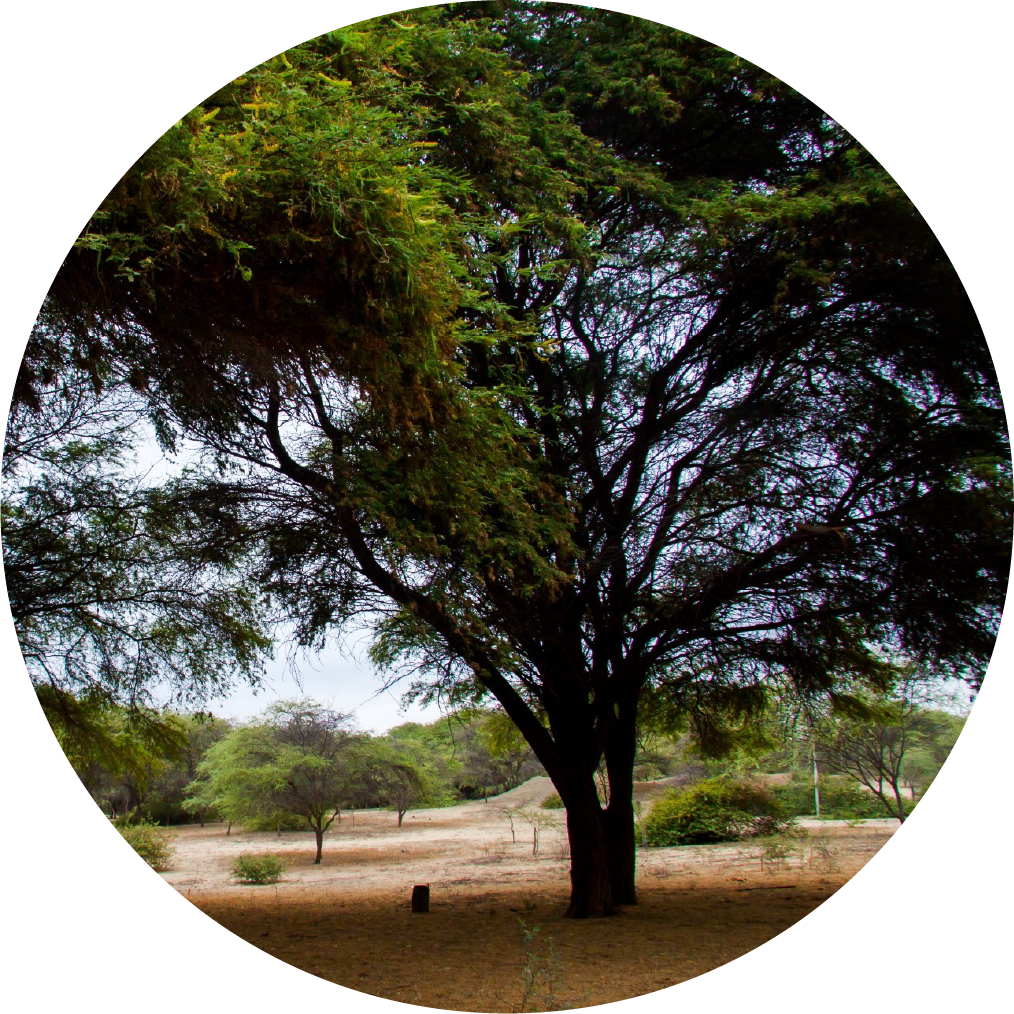
The dry forests of the northern coast of Peru occupy an area of 3,422,904 hectares of our territory and are mainly concentrated in the departments of Tumbes, Piura, Lambayeque and La Libertad, also extending into Ecuador.

Why are we losing biodiversity and degrading the land?

Expansion of the agricultural frontier

The increase in agricultural production areas at various scales to establish large commercial agriculture projects such as sugar cane for ethanol, fruit trees and paprika is causing deforestation.

Unsustainable forestry practices

These practices include selective and illegal logging, primarily for firewood and charcoal production, which is used for personal consumption and/or sale by the local population. Another unsustainable practice is the burning of cultivated areas, which often leads to forest fires.

Poor agricultural practices

Due mainly to a lack of technical assistance, training and scarce infrastructure, agricultural practices are deficient and make excessive use of pesticides or herbicides that contaminate the soil and affect local fauna.

Pressure on wildlife

Large-scale agriculture, habitat loss and connectivity are the main threats to endemic and threatened species, in addition to illegal trafficking and trade in wildlife.

Overgrazing of cattle and goats

There is a lack of resources and means to establish sustainable livestock farming systems, making extensive livestock farming precarious and harmful to the ecosystem. The introduction of exotic species for livestock consumption has led to desertification.

Impacts caused by climate change

The main risks include droughts and floods during periodic El Niño events, which affect communities. Forest fires, caused by the fragility and vulnerability of these ecosystems and by human practices, are also a significant risk.

What is our purpose?

We want to promote the conservation and recovery of the dry forests of the Peruvian coast, strengthening the connectivity and resilience of the prioritized ecosystems, increasing the adaptive capacity of the populations and generating sustainable local livelihoods.

Photo: UDEP

The path laid out

What progress has been made so far?

Faced with the problem of the decline of the carob tree, MIDAGRI created the Multisectoral Working Group in charge of evaluating the problem of the population reduction of the "carob" genus on the North Coast of Peru.

At the end of 2020, SERFOR approved the National Plan and Agenda for Forestry and Wildlife Research 2020-2030, which will guide research, development and technological innovation activities and technology transfer in order to improve competitiveness in the forestry sector.

Six protected natural areas have been established (ANP), 4 regional conservation areas (ACR) and 16 private conservation areas (ACP), 9 of which are in peasant communities; in addition to 3 areas under other effective conservation modalities (OMECs), which add up to a total of around 415,953 hectares.

The type of dry forest with the greatest coverage under some conservation category is the dry hill and mountain forest, which represents 88.31% of the total area under protected areas, while the tropical Pacific forest, dry plains forest and dry riparian forest (algarrobal) represent 5.7%, 4.7% and 4.7%, respectively.

1.3 % respectively.


The Dry Forest Project It seeks to promote the conservation and recovery of the dry forests of Tumbes, Piura, Lambayeque and La Libertad, strengthening the connectivity and resilience of this ecosystem, increasing the adaptive capacity of the populations and generating sustainable local livelihoods.

Goat Farming

Learn how goat farming is becoming one of the main economic activities for communities on the northern coast of Peru.

Reforestation with tara

Reforestation with tara is a sustainable alternative in the dry forest landscape.

Palo santo

Learn how the women of the Mangamanguilla community have transformed palo santo and how it is the economic support for their families.

Photo: We preserve

How will we achieve the conservation of our forests and food security for our communities?

We will work on four components, our pillars to ensure human well-being and resilience in dry forests.

We will promote the governance with a multi-sectoral, multi-level and multi-stakeholder approach for the sustainable development of dry forests in Peru.

We will promote the ecological connectivity of dry forests and restoration through effective management and financial sustainability of conservation areas and buffer zones.

We will promote sustainable production practices for the conservation of the natural heritage of the dry forest on the North Coast of Peru

We will promote the knowledge management and the monitoring and evaluation of the project.

Forests, the heart and light of our planet

What places will we impact?

The race of life

Northwest Biosphere Reserve Corridor Amotapes


It has an area of 962,252.92 hectares. It is located between Tumbes and the northwest area of Piura, and stands out for harboring the largest portion of protected natural areas in the entire Equatorial dry forest: The Tumbes National Reserve (19,268 hectares), the Cerros de Amotape National Park (151,767 hectares) and the El Angolo Hunting Reserve (65,000 hectares).

Northern Hill Dry Forests Corridor


It comprises 323,166.39 hectares in a strip on the western slope of the Andes mountain range between the provinces of Morropón and Huancabamba, in the Piura region. It harbors up to 70% of the habitat of an emblematic species for conservation in the dry forest, the White-winged Guan (Penelope albipennis).

Coastal Plain and Lower Piura Forest Corridor


It comprises an area of 347,239.45 hectares with sparse dry forest associated with the desert and wetlands of Sechura, in the province of the same name, in the Piura region.

Southern Hill Dry Forests Corridor


It comprises a strip on the western slope of the Andes mountain range, between the provinces of Lambayeque and Chiclayo. In the Lambayeque region, it covers 285,830.49 hectares.

Chulucanas-Tambogrande Plain Forest Corridor


It covers 212,675.34 hectares and is located between these districts in the Piura region, it stands out for conserving lowland forests where probably the most progress has been made in adding value to dry forest products in Piura (mainly carob).

Cascajal-Olmos Plain Forest Corridor


It has an area of 399,594.86 hectares and is located in the northern part of the Lambayeque region, bordering Piura. It encompasses the area of dry lowland forest where deforestation and forest degradation for charcoal production have likely progressed the most.

They are part of the project

Sustainable management and restoration of the Dry Forest of the North Coast of Peru

Executors:

Allies:

Donor:

Implementing agencies:

Operational Partner: