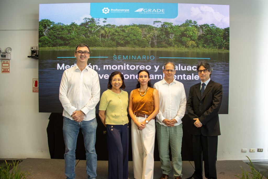
Although global funding for nature-based solutions totals USD 200 billion annually, only three out of every 10,000 conservation studies evaluate the effectiveness of these initiatives. In light of this gap, experts from 12 institutions participated in the seminar “Measurement, Monitoring, and Evaluation in Environmental Interventions: Evidence for Better Decisions on Conservation, Climate, and Sustainable Development,” organized by Profonanpe and the Analysis Group for Development (GRADE).
This need for evidence stems from the current requirements of climate funds to verify how investments transform ecosystems and local economies. Mariana Vidal, an evaluation officer at the Adaptation Fund, explained that scaling up results requires sustainable strategies: “Evaluation helps strengthen institutional learning by making it possible to identify what works, what doesn’t work, and how to adapt projects to constantly evolving contexts and climate challenges.”.
From Space to the Ground: Satellite Observation and Accurate Monitoring
Within the “Measurement and Evaluation Cases” session, participants discussed the use of spatial data to make the preparation of evaluations more accessible, noting that projects with impact assessments cut the gap between planned disbursements and actual execution in half. In this regard, Máximo Torero, chief economist at the FAO, demonstrated that cross-referencing national censuses with open platforms such as SEPAL (System for Earth Observation, Data Access, Processing, and Analysis for Land Monitoring) makes it possible to build databases and establish controls without costly surveys.
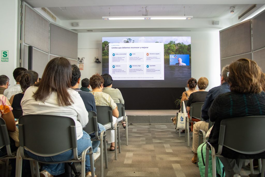
Presentation by Máximo Torero, chief economist at the FAO, via Zoom.
However, the use of spatial data must be accompanied by territorial validation. Jaap van der Sluis, head of corporate finance and business development at Arkadiah Technology, highlighted the benefits of implementing Light Detection and Ranging (LiDAR) technology to improve efficiency in this work at various levels: geospatial information, flight data, and territorial information. He agreed with Torero in noting that “Assessing impact requires comparing the observed outcome with what would have happened without the intervention. This second scenario is the counterfactual and must be justified through the evaluation design.”.
In Peru, Gabriela Flores, coordinator of the MapBiomas Alerta Perú initiative of the Amazon Conservation Association (ACCA), presented a tool that uses geospatial data to measure and verify deforestation, facilitating decision-making and project monitoring.
In the country, 3.05 million hectares of forest have been deforested over the past 23 years, with 95% of these cases occurring within 5.5 km of a road or 1 km of a river. To demonstrate the importance of government involvement in this context, Joanna Kámiche, director of the University of the Pacific’s Research Center, presented a study that evaluated 28,424 grid cells across 317 Amazonian districts, showing that greater municipal services reduce deforestation near roads. However, she noted that territorial data may vary due to a lack of detail on aspects such as socioeconomic factors.
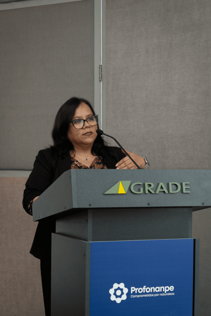
Joanna Kámiche, director of the Research Center at the Universidad del Pacífico.
Project Evaluability and Contribution to National GDP
On the economic front, Lourdes Álvarez, director of Economic Studies at PRODUCE, presented the modeling of 26 projects and 227 subprojects of Profonanpe, which have the potential to boost private investment by 4.5 times the GDP and double its contribution within ten years: “Environmental investment has the potential to stimulate the economy in the short term and strengthen its productive capacity through the restoration and conservation of capital.”
For his part, Omar Corilloclla, director of Monitoring and Evaluation at Profonanpe, presented an analysis of the evaluability of 12 projects in Profonanpe’s portfolio, identifying two that are suitable for impact evaluations and four for outcome evaluations: “We work with various donors, organizations, and communities. That is why it is necessary to be accountable for the results of our interventions.””.
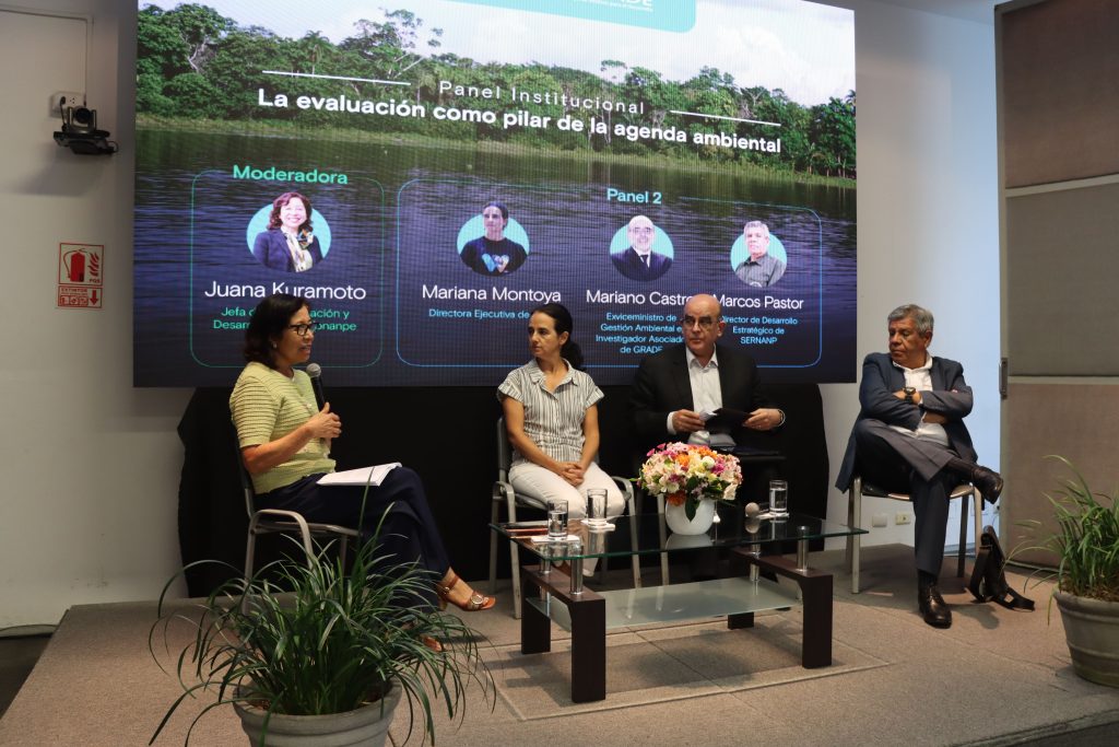
Institutional Panel: “Assessment as a Cornerstone of the Environmental Agenda.”.
The meeting, which was also attended by Juan José Díaz, executive director of GRADE and panelists from the SERNANP, WCS, the University of the Pacific, GRADE, and Apoyo Consultoría found that good environmental intentions are no longer enough to attract funding. As Anton Willems, CEO of Profonanpe, mentioned, “The priority is to generate evidence that will enable us to develop better interventions, allow donors to allocate resources more effectively, and, above all, enable public policymakers to define and implement public policies.””.